There are many free online tools that can be used to visualize the impacts of sea level rise and coastal flooding. While these tools should not be used to plan for an emergency, they may be useful for understanding the general impact of sea level rise and flooding in Southeast Florida. The Division of Built Environment Risk Reduction recommends exploring the handful of resources linked below. Please read the disclaimers associated with each tool and reach out directly to each organization with any questions or concerns.
 NOAA Office for Coastal Management
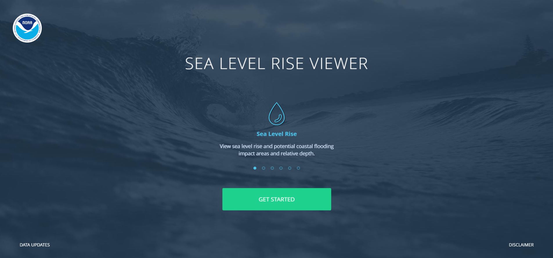
Sea Level Rise and Coastal Flooding Impacts Viewer
- A map viewer that provides federal, state, and local coastal resource managers and planners with a preliminary look at sea level rise and coastal flooding impacts.
- The viewer is a screening-level tool that uses best-available, nationally consistent data sets and analyses.
- Data and maps provided can be used at several scales to help estimate impacts and prioritize actions for different scenarios.
NOAA Office for Coastal Management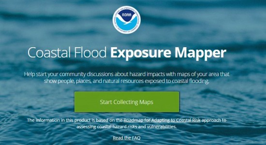
Coastal Flood Exposure Mapper
- A map viewer designed to help coastal communities start discussions about coastal flood hazard impacts with maps that show people, places, and natural resources exposed to coastal flooding.
-
Disclaimer
-
FAQ
- Point of Contact: Russell Jackson,
russell.jackson@noaa.gov
Climate Central
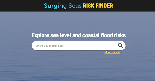
Surging Seas Risk Finder
A searchable web tool providing:
-
Maps users can customize, embed, & download;
- Downloads: spreadsheets, slideshow-ready tables & graphs, & fact sheets;
- Individual community analyses;
- Area comparisons;
- Local sea level & flood risk projections; and
- 100+ demographic, economic & infrastructure variables analyzed for 1000s of communities from zip code to statewide levels.
The Nature Conservancy
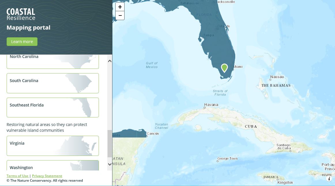
Coastal Resilience Mapping Portal
- An online mapping tool customized for local and state decision makers showing potential impacts from sea level rise and coastal hazards designed to help communities develop and implement solutions that incorporate ecosystem-based adaptation approaches.
- Particularly useful for mapping Critical Habitat, reef locations, mangroves, dune restoration efforts, and shore protection projects in the context of sea level rise (either based on SFWMD layers or NOAA layers).
-
Disclaimer
-
FAQ
-
General Inquiries
- Point of Contact: Zach Ferdana,
zferdana@tnc.org
FIU School of Journalism &
Mass Communication
Sea Level Rise Toolbox
- An interactive sea level rise viewer designed to give South Floridians a better understanding of how sea level rise might impact their neighborhoods.
-
Disclaimer
-
FAQ
- Points of Contact:
- Susan Jacobson,
sujacobs@fiu.edu
- Juliet Pinto,
jpinto@fiu.edu
- Jennifer Fu,
fujen@fiu.edu
University of Florida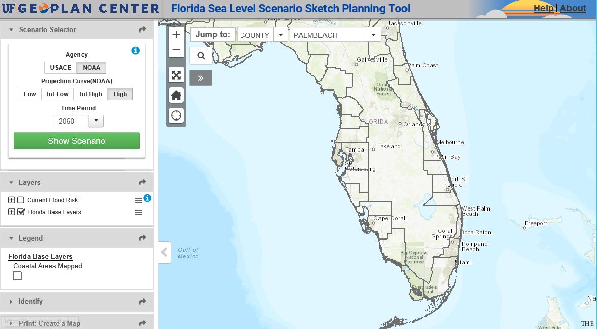
Sea Level Rise Map Viewer
- A map viewer that includes re-mapped SLR scenarios using the USACE 2013 and NOAA 2012 SLR projections. SLR scenarios were mapped by county using local tide gauge data, updated sea level trends from NOAA, and the best available Lidar-based elevation data.
- With the map viewer, users can explore areas of projected inundation and potentially affected infrastructure under five SLR projection curves at time periods (2040, 2060, 2080, and 2100).
- It is highly recommended to read the
Map Viewer User Guide before using the viewer.
-
Guide to Map Viewer Data Layers
-
Disclaimer
-
General Inquiries or Feedback